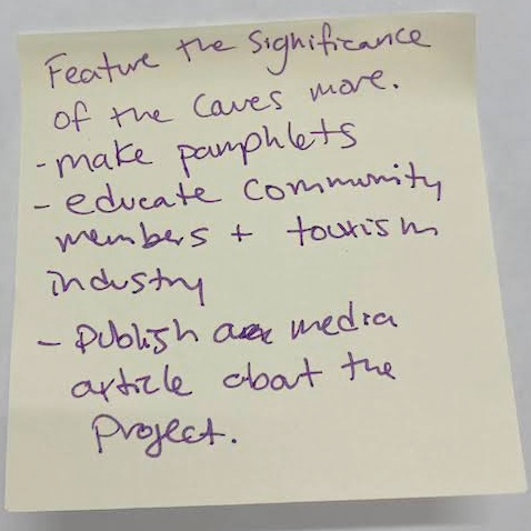
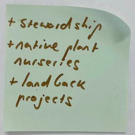
Erasing Imaginary Lines, Healing the Land was an exhibit that took place at the Yellowhouse Art Centre on Galiano Island, BC, from October 5-30, 2024. It presented the work of the Xetthecum digital ecocultural storymap, an intergenerational, cross-cultural and community-led project focused on creating an ecocultural storymap of an area known as Xetthecum in the Hul’q’umi’num’ language (Retreat Cove, Galiano Island). The exhibit also featured projects that are related to or that inspired the Xetthecum project, including species maps of Galiano Island created by local artists, an overview of Whiteswan Environmental’s work, and a digital project gallery.
Opening Event
The exhibit opening was part of The Salish Sea Symposium, an event organised by IMERSS (Institute for Multidisciplinary Ecological Research in the Salish Sea). The symposium featured a panel discussion on Centering Indigenous Knowledges in Community Science, Scholarship, and Art (with Niiyokamigaabaw Deondre Smiles, Rosemary Georgeson, Jessica Hallenbeck, Kusemaat Shirley Williams, Briony Penn, and moderated by Jeannine Georgeson). It also featured an exhibit and art auction at the Galiano Inn titled Salish Sea Diatoms (featuring electron microscope images of diatoms by Lama Mark Webber), an IMERSS fundraising dinner, and various biodiversity-related activities around Galiano Island, including a demonstration of the Sentinels of Change light trap at Whaler Bay and a community scanning electron microscopy lab, featuring Dr. Elaine Humphrey.
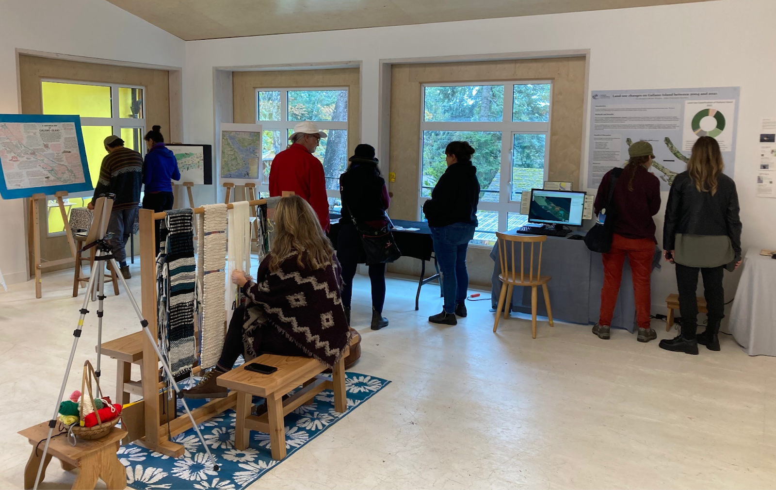
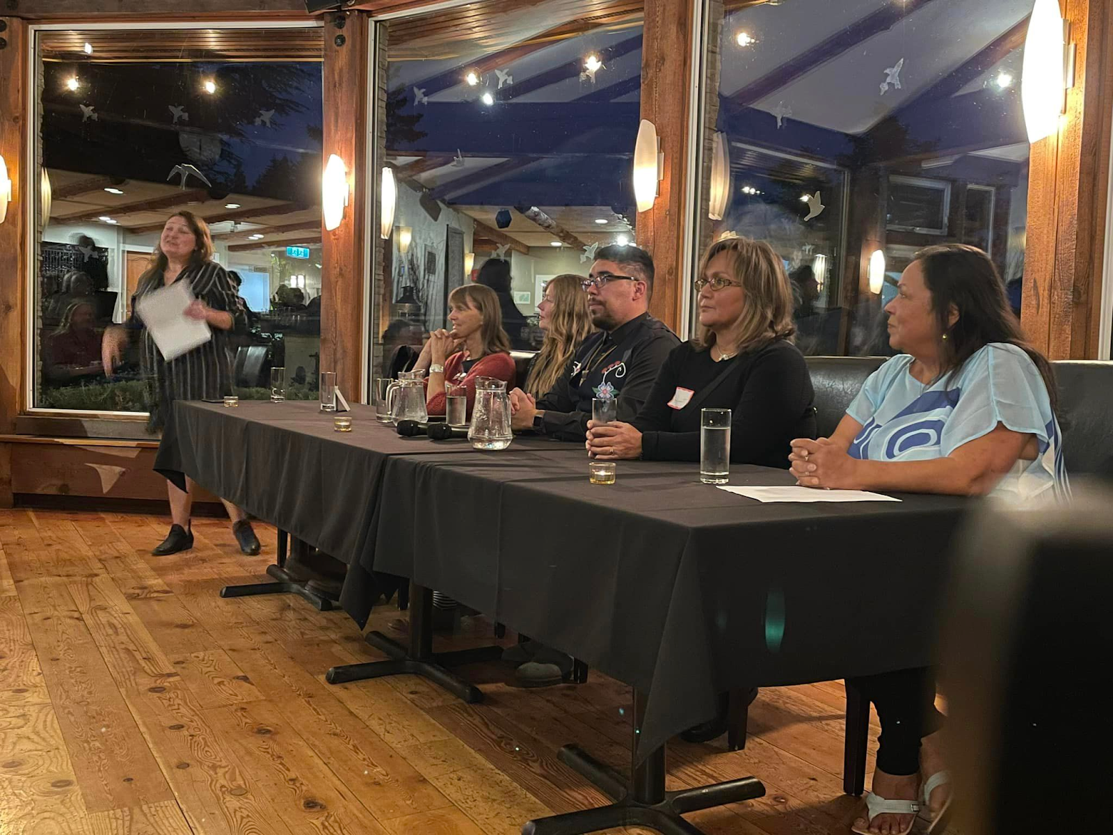
Exhibit Description
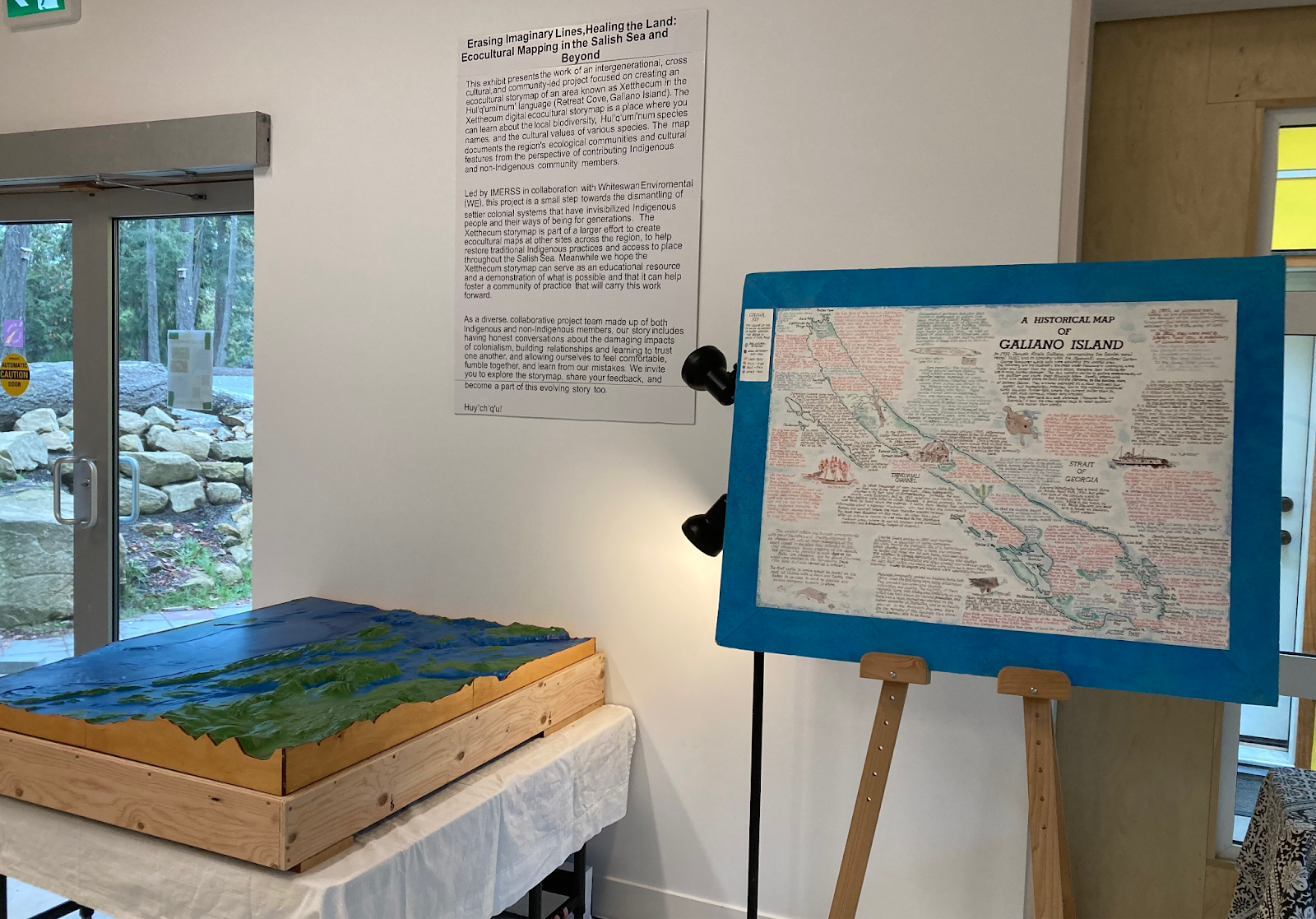
The following text was presented on the gallery wall:
This exhibit presents the work of an intergenerational, cross-cultural and community-led project focused on creating an ecocultural storymap of an area known as Xetthecum in the Hul’q’umi’num’ language (Retreat Cove, Galiano Island). The Xetthecum digital ecocultural storymap is a place where you can learn about the local biodiversity, Hul’q’umi’num’ species names, and the cultural values of various species. The map documents the region’s ecological communities and cultural features from the perspective of contributing Indigenous and non-Indigenous community members.
Led by IMERSS in collaboration with Whiteswan Environmental (WE), this project is a small step toward the dismantling of settler colonial systems that have invisibilized Indigenous people and their ways of being for generations. The Xetthecum storymap is part of a larger effort to create ecocultural maps at other sites across the region, to help restore traditional Indigenous practices and access to place throughout the Salish Sea. Meanwhile we hope the Xetthecum storymap can serve as an educational resource and a demonstration of what’s possible, and that it can help foster a community of practice that will carry this work forward.
As a diverse, collaborative project team made up of both Indigenous and non-Indigenous members, our story includes having honest conversations about the damaging impacts of colonialism, building relationships and learning to trust one another, and allowing ourselves to feel uncomfortable, fumble together, and learn from our mistakes. We invite you to explore the storymap, share your feedback, and become part of this evolving story too. Huy ch q’u!
Project Timeline
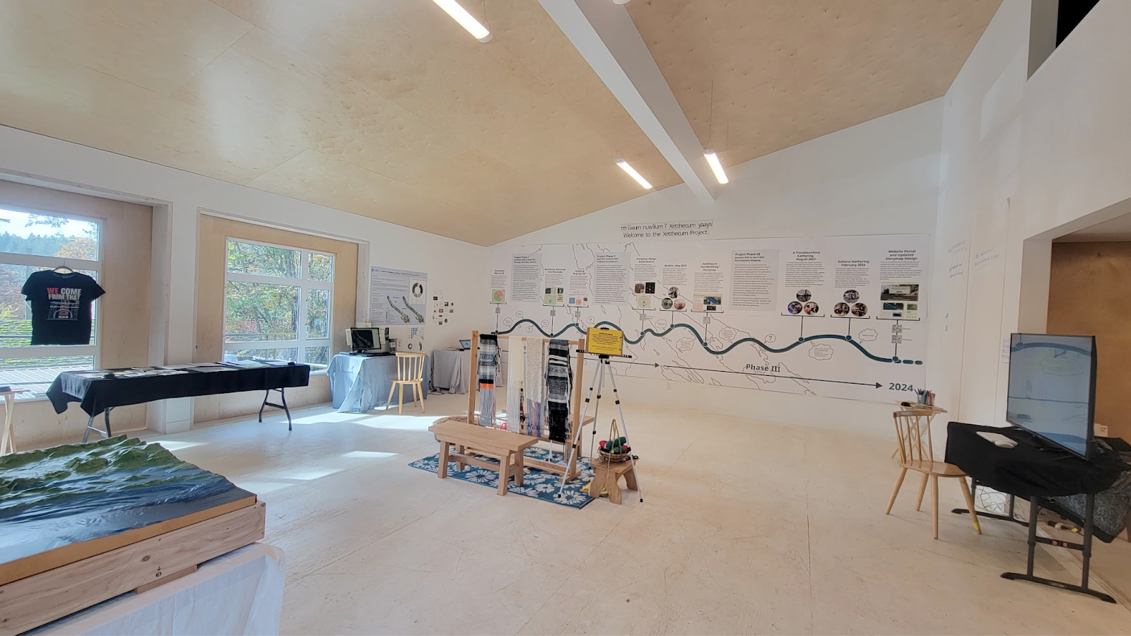
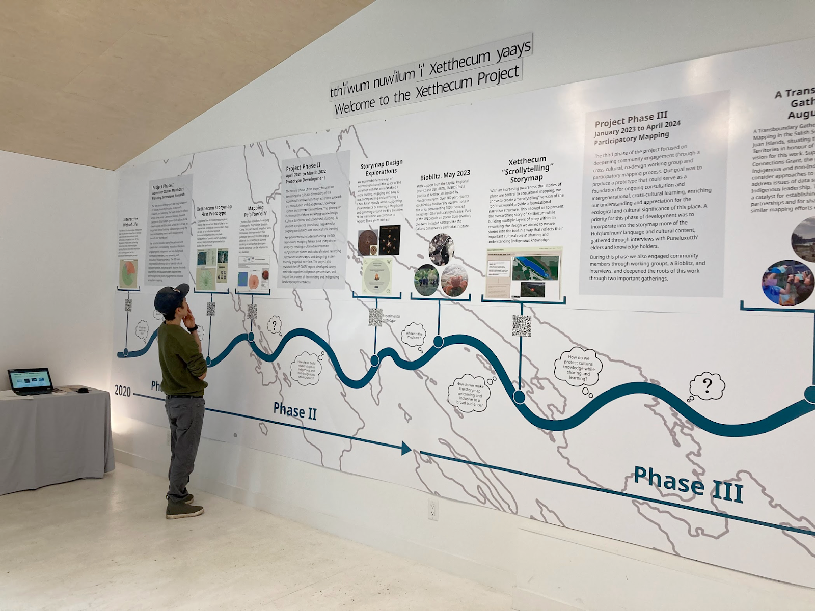
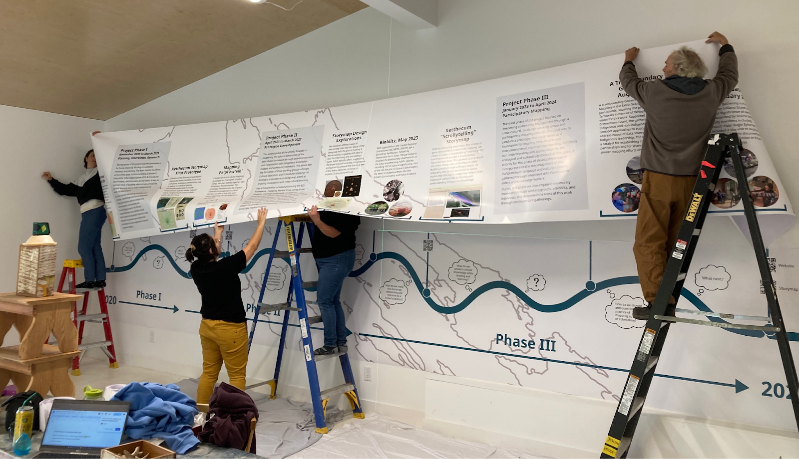
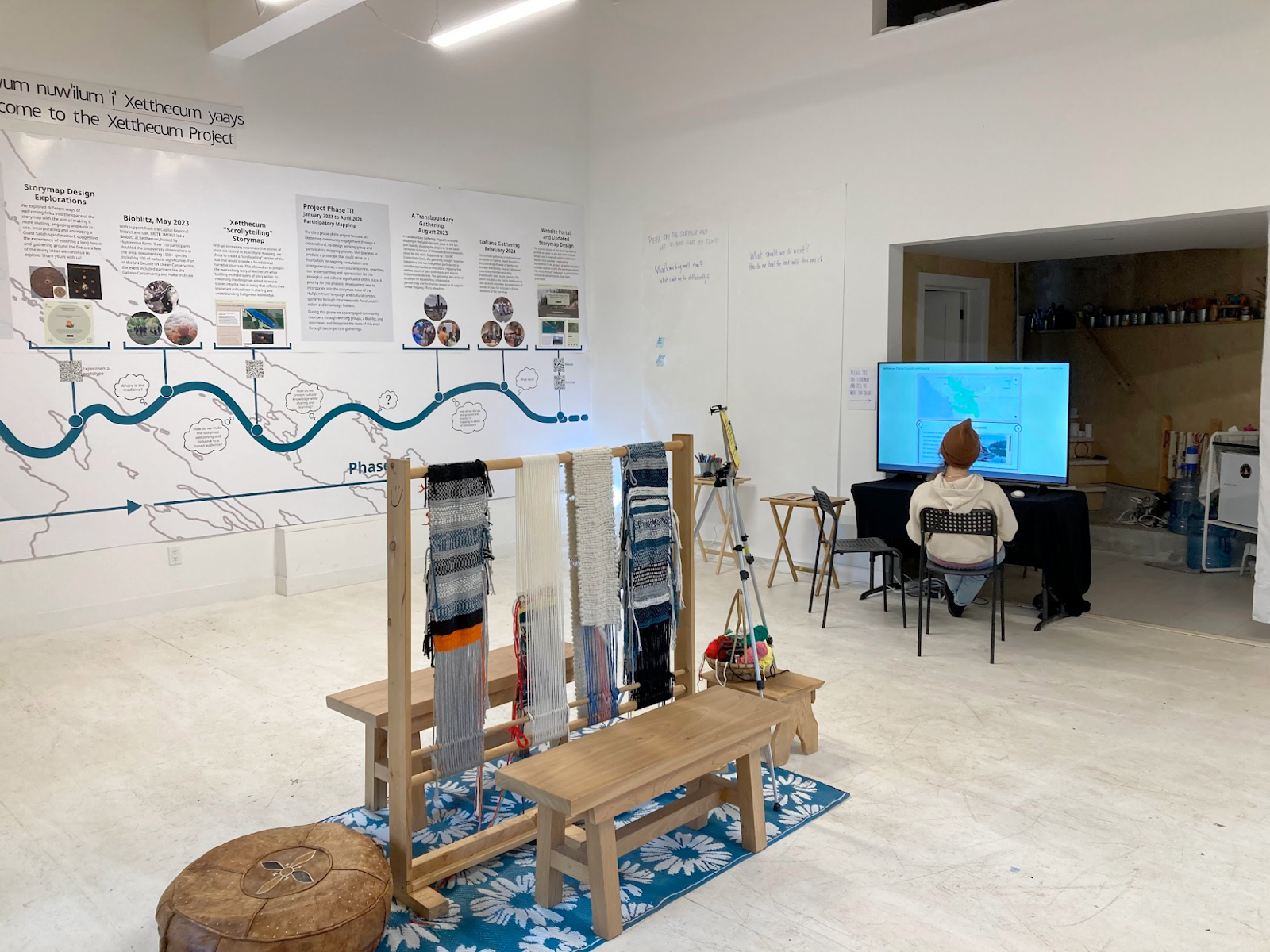
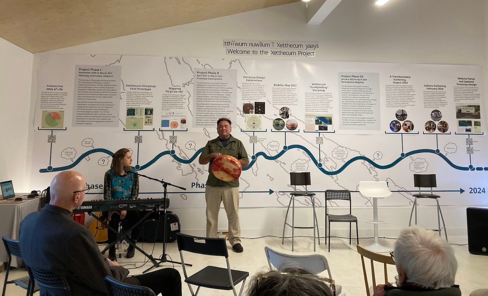
A large timeline was created for the exhibit, telling the story of the project from its inception in 2020 to the present. The meandering timeline, with questions in thought-bubbles appearing along its path, reflects the emergent and exploratory nature of the project. The three phases of the project are mapped out along the timeline with text descriptions of each phase. Different versions of the storymap, including both design explorations and implemented prototypes, are presented along the timeline with text descriptions, screenshots, and QR codes linking to each one. Events related to the project, such as a BioBlitz and two community gatherings, are also presented on the timeline with brief written descriptions and photos taken at the events. In the background of the timeline can be seen a simple line map of the southern gulf islands.

Soliciting Feedback
The project website and storymap were available for visitors to try out and offer their feedback based on the prompt questions:
- What’s working well now?
- What could we do differently?
- What should we do next?
- How do we heal the land with this work?
Making Space for Gathering
A Coast Salish loom was set up in the centre of the room, inviting visitors to do some weaving and providing a cultural, visual and physical gathering point for the exhibit. The loom was a gift from Penelakut elder and matriarch Karen Charlie and displayed both finished and unfinished weavings from previous projects such as The Water We Call Home.
A Multi-faceted Exhibit
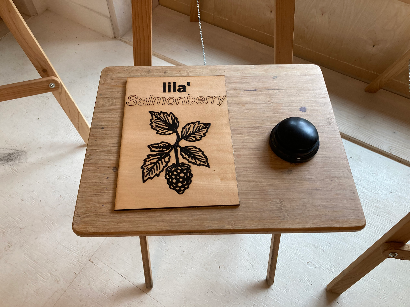
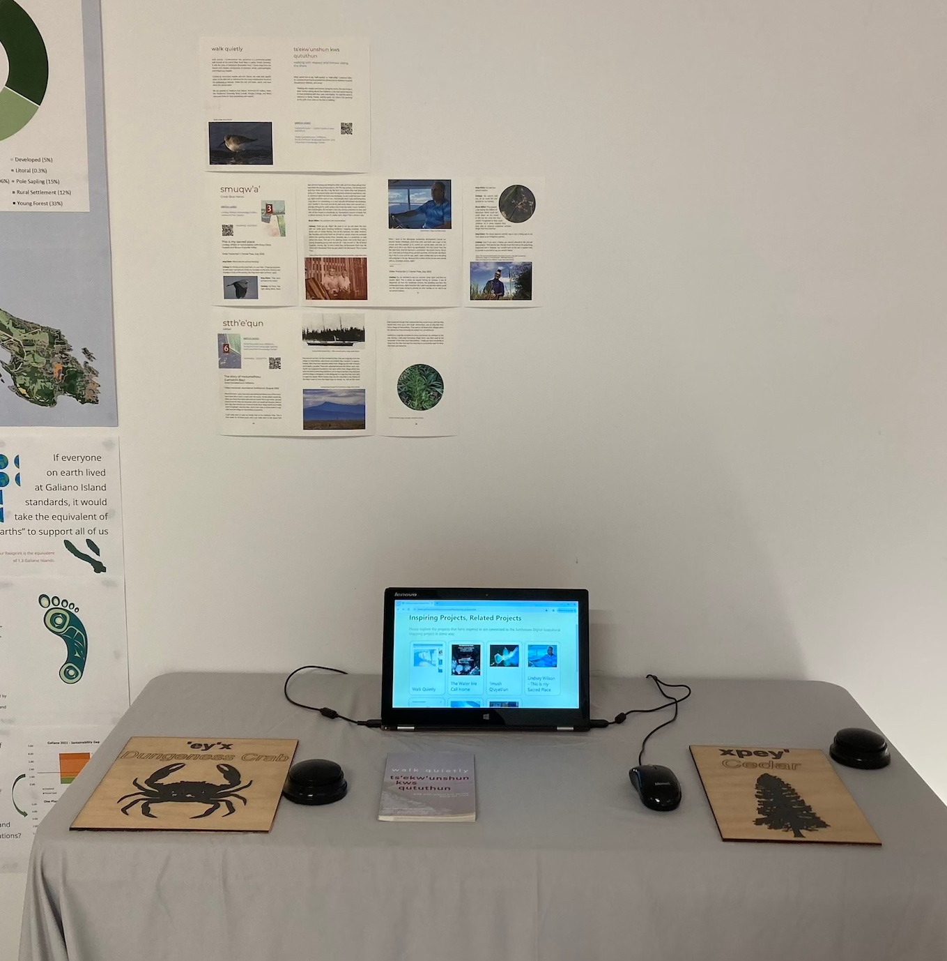
The exhibit at the Yellowhouse gallery also included audio buttons placed around the room that had been programmed with the same Hul’q’umi’num’ audio that is in the storymap tool. Each of these buttons were paired with a board that showed the individual species name and image, highlighting the keystone species of the Xetthecum region and allowing visitors to hear and learn the Hul’q’umi’num’ names and pronunciation. One audio button was also placed at the entrance to the gallery with a Hul’q’umi’num welcome message: tth’i’wum nuw’ilum ‘i’ Xetthecum yaays (Welcome to the Xetthecum Project).
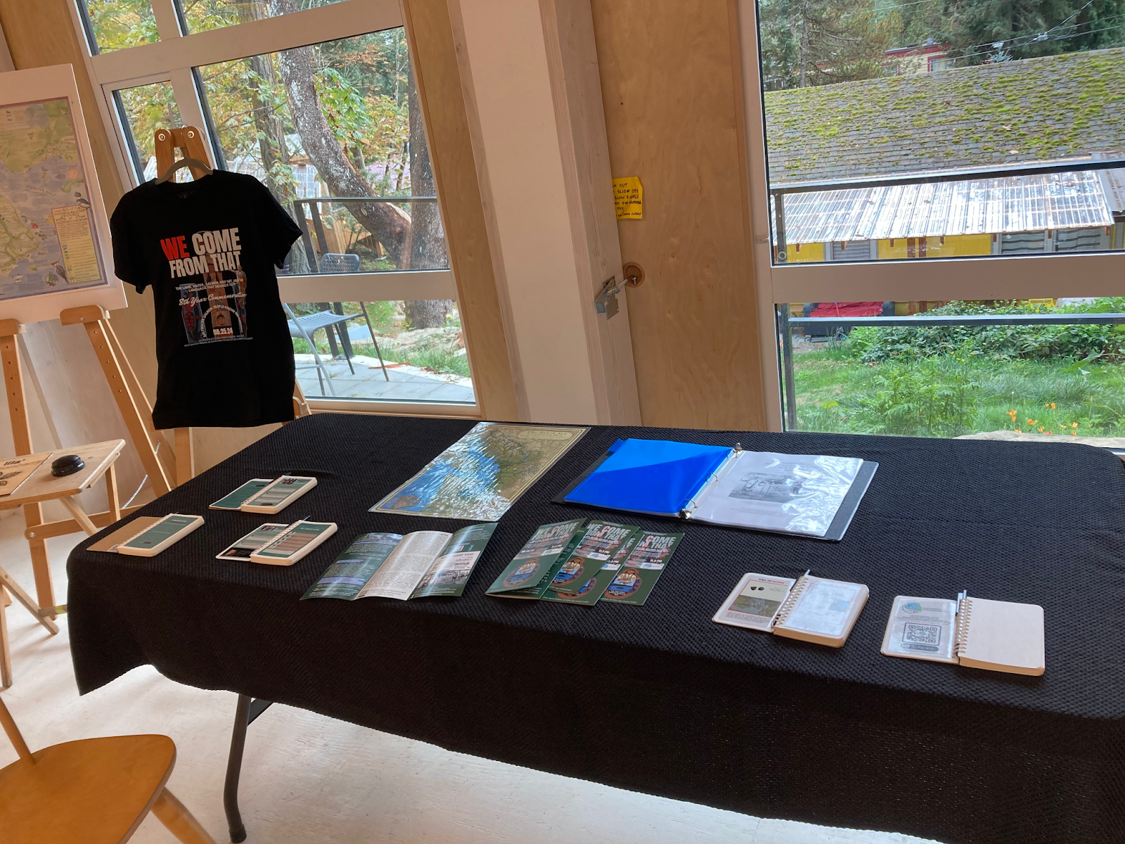
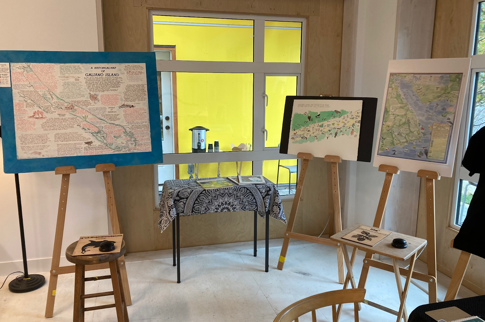
The exhibit also included a display by Whiteswan Environmental, a three-dimensional map of Galiano Island, various maps of the island created by local artists, a display by the Galiano Conservancy, and an area highlighting other inspiring and related projects.
Closing event
The closing event on October 26 included a panel discussion and Q&A with members of the project team, followed by a performance of “Medicine”, a song that was co-written by Johnny Aitken (Indigenous Creative Guide for the project) and Lauren Mann, a singer-songwriter living in the Gulf Islands. This was followed by additional songs performed by Lauren Mann. The event was well attended with much lively discussion over food and drink. A decision was made to keep the exhibit up until October 30th to allow for a visit by the Gulf Islands district board and senior staff, who were given a tour of the exhibit.
Next Steps
Over the course of the exhibit, a number of different groups expressed an interest in having the exhibit up in their communities, to share the project and to inspire similar work where they are located. Groups included the Tsawout Nation, Hornby Island, Whatcom Intergenerational High School (Lummi Nation), and Gulf Island district schools.
