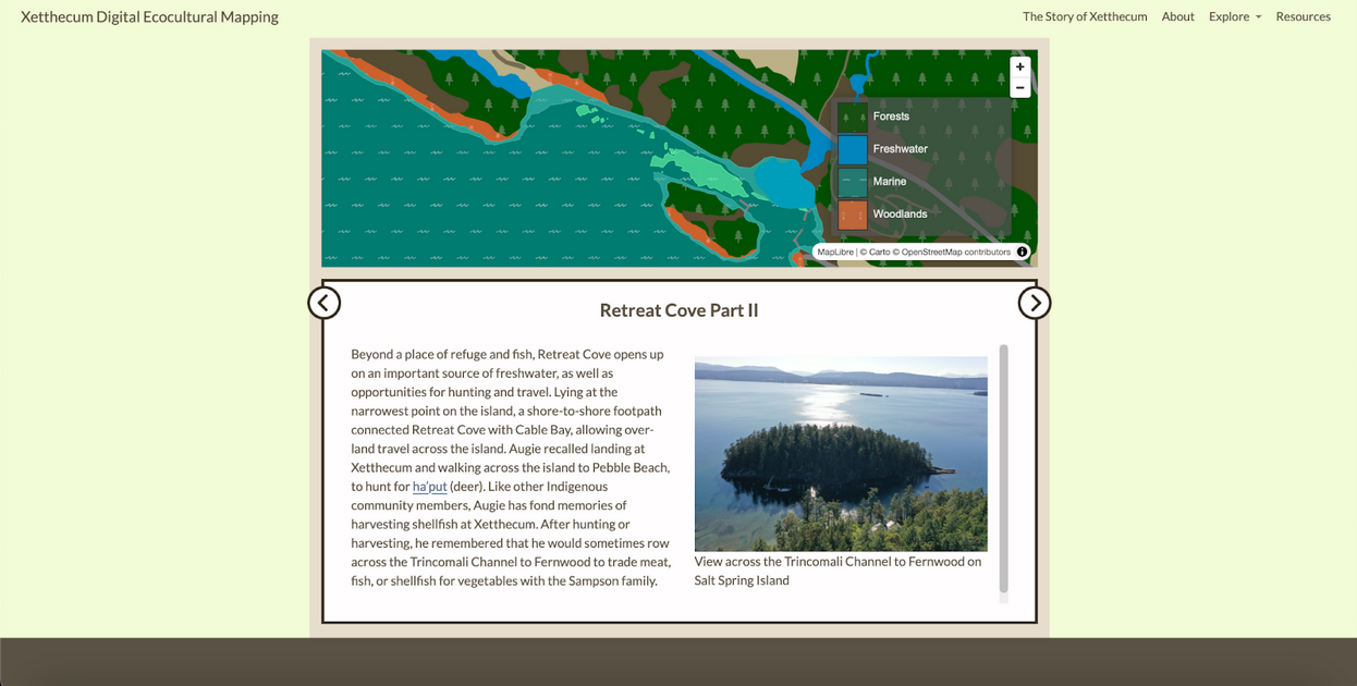
Phase III development of the Xetthecum digital ecocultural mapping framework wrapped up at the end of April. A priority for this phase of development was to incorporate more of the Hul’q’umi’num’ language and cultural content that had been gathered through interviews with Puneluxutth’ elders and knowledge holders. It became clear that our framework needed to take a narrative approach in order to incorporate these stories of place. In reworking the design, it was important that the story would not be secondary or decorative, rather it needed to be woven into the resource in a way that reflects its important cultural role in sharing and understanding Indigenous knowledge.
With the newly directed emphasis on storytelling, the team collaboratively designed a narrative-based mapping framework that would create a foundation for weaving ecological science into an overarching narrative shaped by Indigenous knowledge. The team then met regularly over the next few months to collaboratively develop the storyboard, pulling in content from interviews with elders, themes identified in the interviews, biodiversity data, images, videos and more, with the aim of creating an engaging, cohesive and compelling story of Xetthecum.
In order to improve the accessibility of the map prototype, we sought to provide a diversity of entry points, including the ability to begin at a simple starting point and then dive into deeper layers of interaction and information. This was achieved through the creation of the Xetthecum Ecocultural Mapping website. This website allows visitors to learn about the project aim and background, and to directly access biodiversity data and stories of place as well as the story map itself. The educators on the team also felt that this way of organising the data would be particularly useful in a formal educational setting, where teachers and students could directly access biodiversity data as well as stories of place.

In developing the ecocultural mapping framework we considered a number of different approaches and designs towards creating an accessible and inclusive experience for a broad audience. We acknowledge that one version of the framework is inadequate and that having a flexible framework that welcomes community contributions and that can be adapted to different needs, purposes and contexts is essential in the longer term. Next steps in the design of the framework will be to gather more community input through a community event being planned on Galiano Island in the Fall of 2024. Our aim has been to build a framework that is itself a scaffold to support further story gathering, which we can continue to elaborate in the longer term. This framework is not an end unto itself, but an ongoing collaborative process.